Skip to content

No power of attorney. Ever.

How it works

Three minutes to set up. Then we keep watch.

In short: you drop a pin or send a survey number. We check every clear satellite image of your plot for crops, digging or new building — and in 19 states we read your official land record every week for a new owner or mutation. If something changes, a real person checks it and explains what it means. Every month you get a short update either way.

  1. Step 1

    Tell us where your land is

    Drop a pin on the map, or give the village and the survey, khasra, gat or dag number. About three minutes. No documents to upload, no power of attorney, no visits.

  2. Step 2

    We watch it on two fronts

    Every clear satellite image of your plot is compared with its own history — crops, digging, new building. And in 19 states we read your official land record every week for new owners or mutations.

  3. Step 3

    A person tells you what it means

    Each month a short update lands in your email. If something changes, our team checks it first, then explains it on WhatsApp or a call — in English or your home language.

What we look for

Signs of change, on the ground and on paper.

Crop activity
Is someone sowing or harvesting your fields without your knowledge? Learn more
Bare soil & digging
Land cleared, levelled or soil removed where it shouldn’t be. Learn more
New construction
Walls, sheds, boundary fencing or foundations appearing on your plot. Learn more
Owner or share changed
A new name, a changed share or a different area in your official land record. Learn more
New mutation entry
A mutation filed on your khasra — the paper trail a forged sale leaves behind. Learn more
When we couldn’t see
Weeks of monsoon cloud over your plot? Your update says so — silence never means nobody looked. Learn more
Monthly Land ReportPlot: Survey No. 214/3 · Sample district
Sample · illustrative
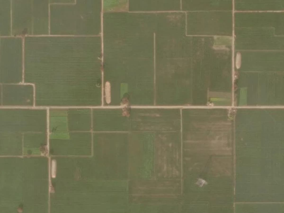
Before (August): plot with a standing green cropAfter (September): the same plot after harvest, showing bare soilAugustSeptember
  • Crop activityHarvest — seasonal, expected
  • Bare soil / diggingNormal
  • New constructionNone detected
  • Land recordRead 30 Sep — no change

Drag across the image to compare. Illustrative example; imagery © Esri, Maxar, Earthstar Geographics.

Two fronts, one person

What we use to watch your land.

Satellites see what happens on the ground; the land record shows what happens on paper. Neither alone is enough — together, checked by a person, they catch the changes that matter early.

SourceWhat it seesHow oftenDetail
Satellite imagery (ESA Sentinel-2)Crops, bare or dug-up soil, clearing, new buildings and large structuresA new pass about every 5 days; we use every clear one10 m
Official land record (19 states)Owners and shares, area, khasra/survey numbers, mutation entriesRead every weekExact entries
A person on our teamChecks every flagged change against the season, your plot’s history and the recordBefore anything reaches youContext
Drone recording (optional)Close video of boundaries, crops and buildingsOnce, or yearly with PremiumCentimetres

New to the terms? Read about Sentinel-2, NDVI and mutation in our glossary, or see what satellites can and can’t see in the monsoon.

When something changes

What happens after we spot a change.

Calm, quick and explained by a person. You always decide what happens next.

  1. First

    Our system flags a change — on the satellite images of your plot, or in your land record.

  2. Before it reaches you

    A person on our team checks it against the season, your plot’s own history and the record itself — a harvest is not a kabza.

  3. Then

    If it matters, we tell you by email and WhatsApp what changed and what it likely means, in English and your home language.

  4. After that

    We talk you through what people usually do next — and who to contact. You decide. We never act for you.

Not sure you need it?

Take the 30-second check.

Four quick questions about your land. No email needed — you’ll get an honest answer, even if it’s “you’re probably fine”.

30-second self-check

How exposed is your land?

0/4
  1. 01When did someone you trust last walk the boundary?
  2. 02Who is on or around the land today?
  3. 03What kind of property is it?
  4. 04When did you last check the land record online?

Questions

How it works, answered.

In 19 states we read the official online land record for your plot every week: Punjab, Haryana, Himachal Pradesh, Uttar Pradesh, Uttarakhand, Delhi, Rajasthan, Madhya Pradesh, Bihar, West Bengal, Odisha, Gujarat, Maharashtra, Goa, Karnataka, Kerala, Tamil Nadu, Andhra Pradesh and Telangana. We flag a new owner, a changed share or area, or a new mutation entry. In other states we watch from space, and our team helps you check the record by hand.

Land records by state →

Partly, and we’re honest about it. The satellite imagery we use can’t see through thick cloud, so in the monsoon there can be weeks without a clear view — your monthly update tells you exactly that, so silence never means nobody looked. The weekly land-record checks carry on regardless, and paper fraud is the kind of change that doesn’t wait for clear skies.

Satellites and the monsoon →

The free Sentinel-2 satellites see the ground in 10-metre squares — plenty to spot a new crop, cleared or dug-up soil, or a building or large structure on farmland. They won’t show a person or a single new pole. For a close look at boundaries and small structures, a drone recording is the right tool.

About drone recordings →

A harvest isn’t a kabza — and we know the difference. Every alert is reviewed by a person who compares it with the season and your land’s own history before it reaches you, so you get context, not panic.

Usually up to 10 years. Our Land History Report uses archive satellite imagery to show, year by year, when crops, bare soil or buildings changed on your plot — useful before you visit, sell, or talk to a lawyer.

Land History Report →

Our team checks it first — against the season, your plot’s history and the record itself — so you never get a false alarm. Then we tell you by email and WhatsApp what changed, what it likely means, and sensible next steps. You decide what to do. Premium members also get priority help from a partner lawyer.

See a sample update →

A short monthly update by email: how many clear satellite views we got of your plot, when your land record was last read, and that nothing changed. Most months that’s all — and that’s the point.

Ready to see your land for yourself?

Tell us the village or drop a pin — it takes about two minutes. We confirm the boundary with you before your first report.

Protect my land From $15/month · No power of attorney