One-time · $49
Ten years of your land, in one easy report.
 20172026
Try it
Tap a year to see the kind of note you’d get.
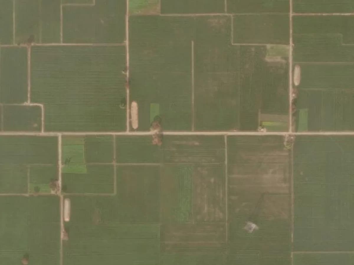
An illustrative example of a plot’s history. Your report shows your own plot, with real dated images.
2023
Soil cleared in the north-west corner. Heap of earth visible.
No change of concern Worth watching Needs attention
What’s inside
Everything you need before you act.
- Satellite views of your plot, up to 10 years back
- When fields went bare, crops changed or anything was built
- A clear PDF in English + your home language, made by our team
- The right first step before you visit, sell or act
- Why dates matter: read the 12-year rule explained and how to read old satellite images.
Questions
About the history report.
It shows how your plot has looked from space, year by year, for up to 10 years — when it was cropped, left fallow, cleared, levelled or built on — with a short plain-English note for each change.
Because the date a change started matters. If someone began using your land, knowing roughly when it began helps you and your lawyer understand the situation — including how much time has passed under the 12-year limitation rule.
Usually within a few working days of confirming your plot boundary with you on WhatsApp.
Yes. A history report shows where things stand today; Land Watch then keeps watching from space and, in 19 states, checks the official land record every week, with a person reviewing every alert.
Look at your land tonight. Sleep easier tomorrow.
Three quick questions, about two minutes. No documents or power of attorney needed to start.
- Full refund if we can’t find your plot
- A real person confirms the boundary with you
- Cancel anytime
What would you like us to protect?
Start — it takes 2 minutes


